
Fluvial Hazard Zone Mapping Applications and Studies
FHZ maps may provide a wide range of benefits to individuals and communities. First and foremost, they are a tool to help stakeholders visualize and understand the inherent risk that exists on lands that have been and will someday again be shaped by water and sediment moving through the landscape. However, they also help to identify areas subject to hazards after wildfires and areas where floodplain rehabilitation and flood management projects are likely to have a considerable impact.
In addition to the information provided on this page, a Quickstart Guide for communities seeking to incorporate fluvial hazard zones into their planning and administration has been developed and is at the link below.
Planning for fluvial hazards is an essential component of effective river corridor management and the prevention of future flood damages.
FHZ Applications

AVOIDING FLOOD DAMAGES THROUGH PLANNING AND INFORMED DEVELOPMENT
Ultimately the most cost-effective tool to mitigate the impact of fluvial hazards is to reduce exposure to the hazard though forward-looking land use planning and/or regulations and standards for development within mapped fluvial hazard zones. The FHZ delineation process and the resulting maps are intended to provide local land use, floodplain, and emergency response managers insight into the likely long-term behavior of their streams and serve as additional hazard information. It also communicates these hazards to the public so that they are better informed in making emergency preparations as well as personal and business decisions.

WILDFIRE PLANNING AND RESPONSE
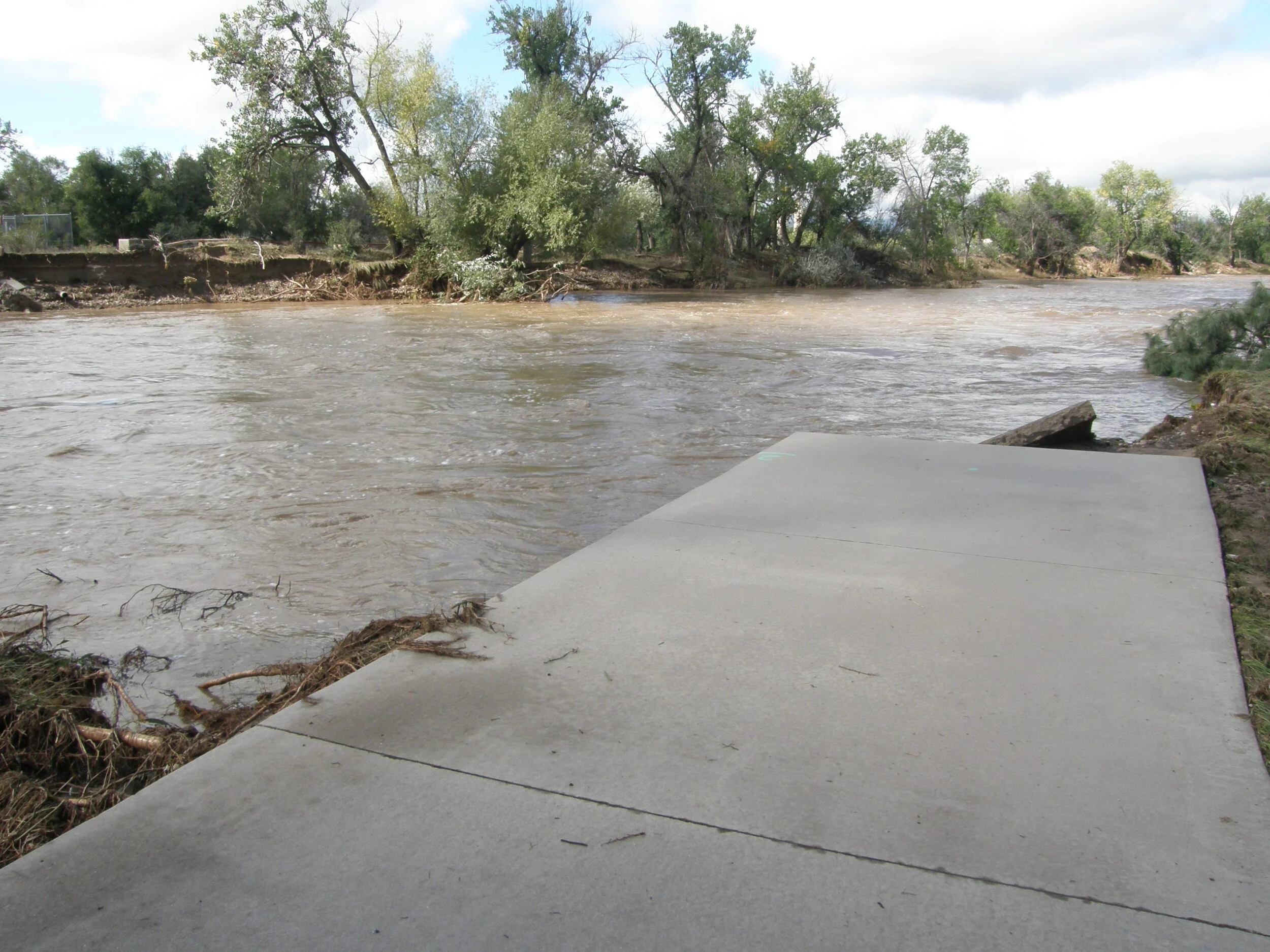
FHZ maps are a valuable tool for communicating hazards associated with rainfall after wildfires. After a wildfire, FHZ maps can be quickly and cost-effectively created to delineate areas vulnerable to sediment and debris impacts spurred by rainfall over the burn scar. Mapping these post-fire hazards may allow downstream residents to prepare by preemptively moving vehicles, storage units, and other items to safer locations and to develop evacuation plans. Furthermore, conserved and natural stream corridors, especially those where beaver have been reintroduced and wet meadows and ponds are present, are thought to provide natural fire breaks, potentially aiding a community’s firefighting effort during a wildfire.
IDENTIFICATION OF WILDLIFE, OPEN SPACE, AND RECREATIONAL OPPORTUNITIES
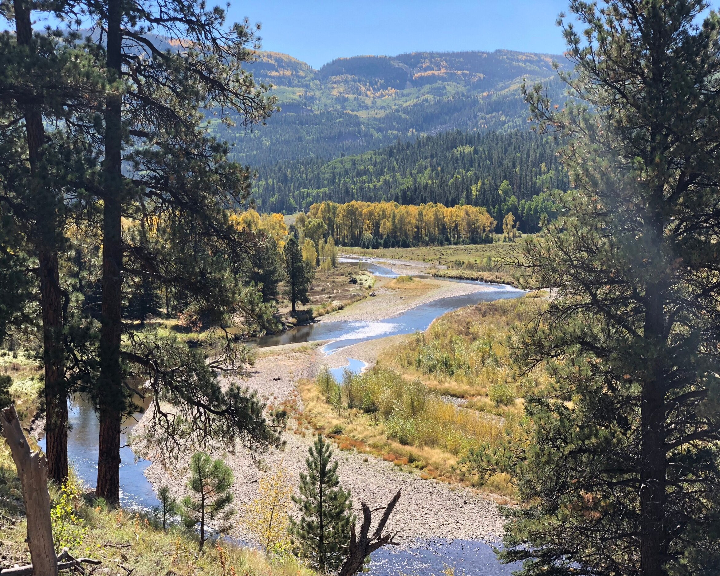
Fluvial geomorphic processes create shifting mosaics of highly productive habitat for riparian, aquatic and terrestrial species. These corridors provide diverse, dynamic, and complex habitats that are among the most important to protecting biodiversity in Colorado. They also provide opportunities to protect (and improve) water quality. This diversity of habitat creates recreational opportunities for wildlife viewing, fishing, foraging, and hunting, as well as trail and path networks for recreation and alternative transportation. Using FHZ maps, conservation and recreation organizations may identify lands where the environmental benefits of unconstrained rivers are enhanced by the societal benefit of limiting human exposure to fluvial geomorphic hazards.

CONSERVATION OF AGRICULTURAL LANDS AND PRACTICES
Many lands adjacent to streams are currently being used for agriculture and grazing. Generally speaking, these land uses are considered compatible for areas within the FHZ. Mapping the FHZ and incorporating the boundaries into community plans can help to prioritize the maintenance of existing agricultural land uses and practices in stream corridors.
Ongoing and Completed FHZ Mapping in Colorado

Areas of the state of Colorado with some level of FHZ mapping completed.