
Resources
Check Out Your Communities Flood Threat Today!
FHZ Overview

The FHZ Program Overview provides and introduction to the Colorado Water Conservation Board’s FHZ Program and why it matters to Colorado’s communities.
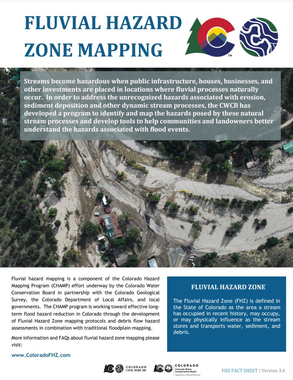
The FHZ Fact Sheet is an introduction to the concepts of fluvial hazards, the CWCB program developed to identify them, and provides an explanation as to how FHZ maps differ from FEMA floodplain maps.
Planning Resources

This document provides communities, agencies, and organizations with guidance on how FHZ mapping can be incorporated into planning, disaster response, administration, and regulation (if applicable).

FHZ Zoning Overlay Model Ordinance
This model ordinance provides suggested text for the establishment and regulation of a Fluvial Hazard Zone Overlay District. The specific language in this document can be tailored to meet a community’s needs for integration into existing planning and regulatory mechanisms.
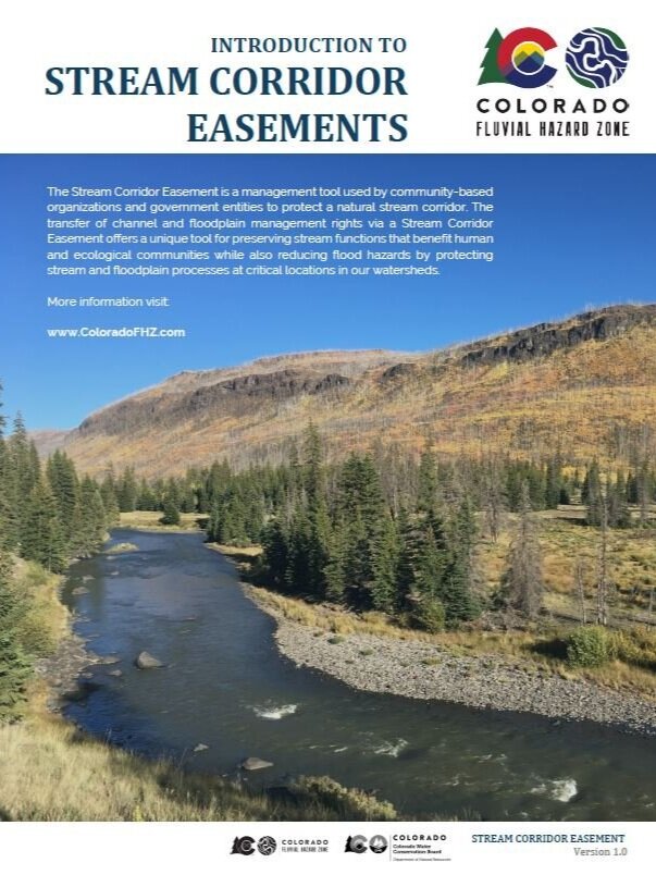
A Stream Corridor Easement is used as a management tool to preserve natural stream functions that benefit human and ecological communities while also reducing flood hazards by protecting stream and floodplain processes at critical locations in our watersheds. This document provides initial guidance for landowners and community partners interested in this management tool.
Technical Resources and Tools

This document provides recommendations and guidance for Fluvial Hazard Zone mapping teams and also provides background and contextual information that may be useful for planners, community officials, and NGOs. The FHZ Protocol is intended to be a tool for a team of Qualified Professionals to use in conjunction with their observation, training and experience, judgement, and critical thinking to delineate Fluvial Hazard Zone boundaries.

2020 FHZ Mapping Protocol Appendices
These documents provide supplemental information to FHZ mapping teams and communities including example scopes of work, reach information sheets, and guidance for the use of the REM generation tool.

REM Generation Tool (ArcMap Plug-In)
This tool will assist users in createing a Relative Elevation Model (REM) which can be useful in mapping Fluvial Hazard Zones. The User Guide is Appendix C of the protocol. This also links to an on-line troubleshooting guide for REM Generation Tool users.

This document provides an example/template for the metadata that should accompany all FHZ study spatial data deliverables.
Additional Related Resources

The purpose of the Resilient Crossings Landowner Handbook is to provide an educational resource that empowers private landowners to understand their properties within the context of the larger watershed and river reach scale. It informs the design of resilient crossing structures that meet landowner needs while accommodating flood flows, in-channel debris transport, and supporting natural aquatic and riparian biological communities. This manual is intended as an overview guide or landowners; however, it is not meant to substitute working with a professional engineer who understands geomorphology and stream hydraulics for survey, design, and construction oversight.